Followers of my blog will know that Deb and I are in love with the Margaret River region, and in fact plan to settle here when we finish our full time travelling. Over the next few weeks, I’m going to share with you some of the things we love about this region, and what we get up to when we are here. But first, today’s blog is an over view of the Margaret River Region for those of you unfamiliar with it.
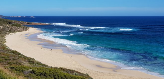
The Margaret River region is located in the very SW corner of the continent and faces the Indian Ocean to the West and the Southern Ocean to the south. It generally refers to the area between Cape Leeuwin in the south and Cape Naturaliste in the north. The distance between the Capes is 130km, a figure Deb and I know well as we walked the “Cape To Cape” track in 2012! Locals refer to this area as the “Capes”, but most people just call it Margaret River.

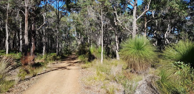
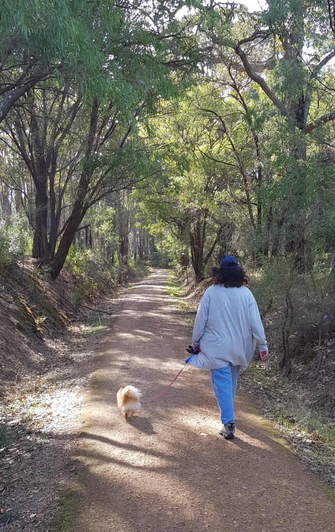
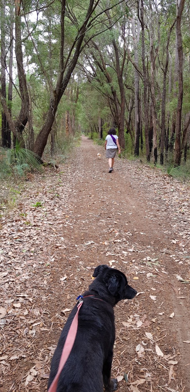
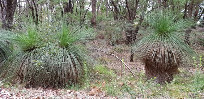
Running north-south along the coast between the Capes is the Leeuwin-Naturaliste Ridge, a geological formation of limestone and basalt that gives the area it’s characteristic spectacular coastline, it’s network of underground limestone caves and it’s rich soil, perfectly suitable for growing wine grapes. Much of the region was originally covered in spectaculer Karri and Jarrah forest before being cleared for farming. There are still significant pockets of these old forests, particularly in the south at Boranup. The Leeuwin Naturaliste National Park includes these forests and hugs much of the coastline between the Capes.

Karri trees in the Boranup Forest
Half way between the two capes, about 50km from each, lies the actual Margaret River, and on it’s banks sits the eponymously named town of Margaret River. The town is the main commercial centre for the region. It’s a busy town, especially on weekends, when tourists flock to the region. It has dozens of accommodation venues, ranging from 5 star apartments and resorts to backpacker hostels, as well as cafes and restaurants.
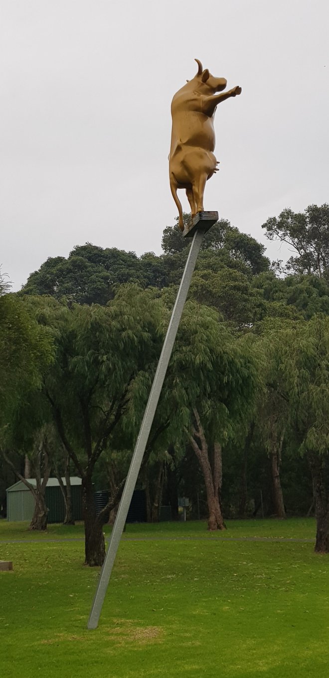
Some of the other towns in the region include Augusta in the south, a very small fishing community situated on the pretty Blackwood River, which was the first town settled in the area. Gracetown is a pretty, small beachside village on the coast north of Margaret River. It’s well known as a surfing town with excellent surfing at a number of breaks near the town. It is also, unfortunately, well known as the location of the Gracetown Disaster, a rockfall that killed 9 people sitting on the beach watching a surf carnival in 1996. Cowaramup is a small village north of Margaret River and is a growing residential area. It has attracted many tourists by calling itself “Cowtown” and has 42 fibreglass cows located around the town and cow themed shops. Yallingup is a resort town in the north, on the coast, is popular with surfers and has many weekend holiday homes. It’s also the home of Caves House, built in 1903 to accommodate visitors to nearby Niggli Cave. Rebuilt in 1938 after a fire, it became an iconic “surfers” pub in the 1970’s and 80’s. Dunsborough is the northern most township in the region, and the closest to Perth. It is located on the beautiful shores of Geographe Bay and is the holiday destination of Perth’s wealthy social set with chic , and expensive, cafes and boutiques. It’s not a town we visit often!
Yallingup Beach
This section of Australia’s coast was first sighted by the Dutch in the early 1600’s when the Dutch East Indies VOC galleon Leeuwin discovered and mapped the coast. The prevalance of french names in the area is a result of Nicholas Baudin’s explorations and mapping in 1801, in the ships Naturaliste (captained by Baudin) and Geographe (captained by Hamelin). It wasn’t until the 1830’s that Europeans settled in the Augusta region. Shortly after convicts were sent to the area to cut Jarrah timber for export, but it was not initially profitable. Later, in the 1870’s, with government support, the timber industry boomed and huge swathes of the dense Karri forests in the south were cut down and exported to England. Meanwhile, the first settlers had arrived in Margaret River where the Bussell family built their home at Ellenbrook. The town of Margaret River grew to support the timber industry and the gradually expanding farmlands.
In the 1920’s the Government started the “Group Settlement Scheme” to encourage out of work soldiers from the UK to settle in the area and start clearing the land to develop dairy farms, in order to reduce the states dependence on imported dairy produce from the East Coast. Although ultimately unsuccessful due to the harsh conditions and the immigrants lack of farming skills, the scheme did form the nucleus of today’s successful dairying industry in the South West. Further attempts were made after WW2 to encourage soldier settlers. These were more successful, and a strong farming economy developed.
In the 1960’s vines were first planted and by the late 1970’s a world class wine region had developed. Around this time, the local beaches became a magnet for surfers from around Australia and the world: the secret was out that Margaret River had some of the best surf in Australia and a long association developed between the surfers and the local area.

Cabernet Grapes at Vasse Felix
By the 2000’s the tourist industry had expanded significantly and was attracting interstate and international visitors. The region was now competing on a large scale with some of the best tourist destinations in Australia. It has become famous for its wines, quality foods, surf, bush walks, mountain bike trails and majestic scenery. Perth residents have always recognised the potential of “Margs”, as they affectionately call it , and many of them still regularly make the trip down here for a weekend getaway or a summer holiday.
So that’s a quick overview of the region. We love the region and enjoy exploring it’s many treasures. Something we really love about Margs is the mix of people who call this region home. Farmers, winemakers, chefs, gourmands, hippies, eco warriors, surfers, backpackers and retirees all blend together to make a community that is vibrant and modern, whilst retaining a solid rural backbone. Keep an eye out for my next blogs as we explore the region.